Pixel Map Generator
Create stylized maps for specific areas
This tool pulls in a map view using a simplified style and draws it on an HTML canvas. It then applies a pixelation effect. On another layer, it renders the street labels on top of the pixelated map.
Used as a test for exploring how to generate the map style used in the Nearby Land project.
EXAMPLES
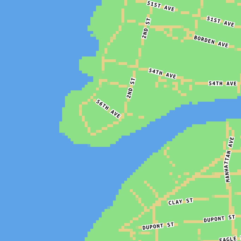
Long Island City
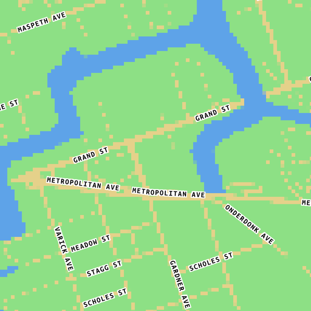
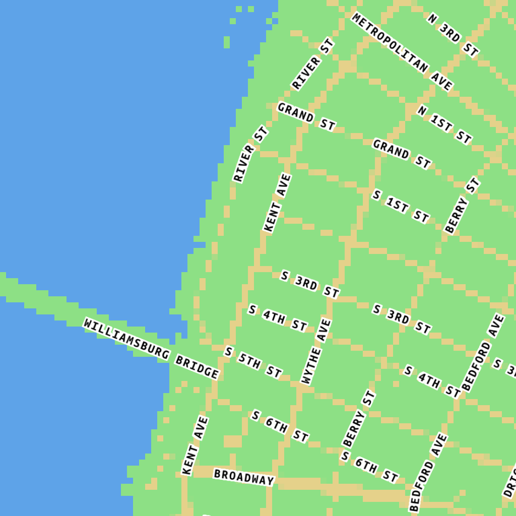
East Williamsburg
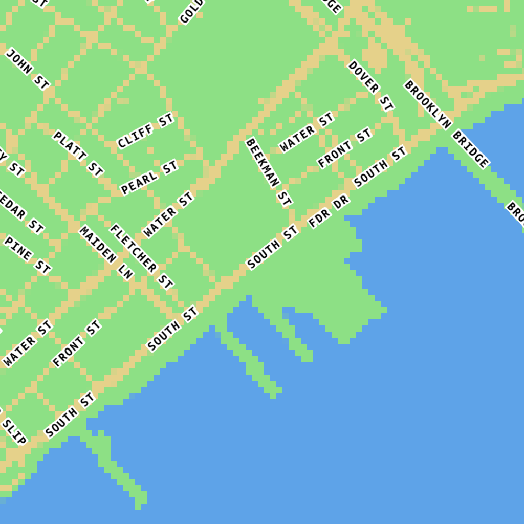
South Street Seaport
Used as a test for exploring how to generate the map style used in the Nearby Land project.
EXAMPLES
Long Island City
East Williamsburg
South Street Seaport